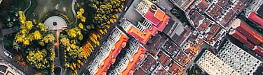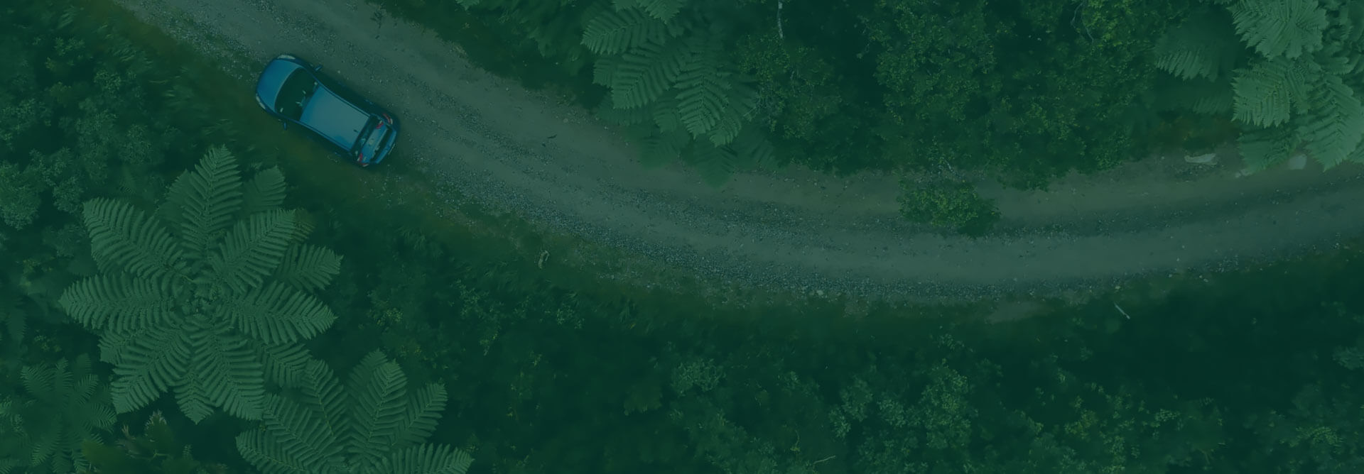

Always Check Road Conditions Before Your Trip
Regardless of where you’re from or headed to, initial planning and checking road conditions before a journey is essential. Understanding the prevailing conditions of a place not only prepares you psychologically but physically as well, more so your route of travel. Checking road conditions beforehand helps you understand what challenges you’re up against and what you need to overcome them. High-resolution satellite imagery that is used in online road maps has made traveling as easy as possible and convenient.
Why Do I Need to Check Road Conditions For My Trip?
Whether on a stroll, road trip, or just a typical afternoon cruise, having the foresight of the circumstances or geographic state along your route or destination could save you a great deal. We check on-road condition to:
- To know what traffic incidents have occurred and could hinder or delay our journey.
- To receive guidance on real-time traffic prone routes, buildups, and alternative routes to avoid being caught up.
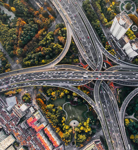
Staying alert on a road check service keeps you ahead of the game in terms of knowing what to expect and how to counter or adapt to your findings. From red alerts of slippery roads to shaky grounds, this system makes journeying confident and fulfilling
How to Check Road Conditions
Conducting a road check can help make a trip safer and enjoyable. It comes in handy, especially during a time of fluctuating weather conditions. The following are various ways to check road conditions.
- Using a turn-by-turn navigation apps – These are applications that provide real-time traffic and road conditions. An example of such apps is Google Maps, Apple Maps and Waze, which covers any locality globally. These apps are in app stores for any devices.
- Checking local news websites – These provide up to date news on road conditions, causes and possible diversion routes. Some news websites provide interactive maps that can aid in navigation.


How Do I Check Weather for a Road Trip

With technological advancement, you can now receive the weather forecast of specific regions at the convenience of your home. It helps you know how to equip yourself and what to anticipate. There are various ways of knowing real-time weather conditions, all thanks to satellite data that enable forecasters to monitor, analyze, and provide valid information to the public. The following are some of the mediums used to check the weather:
- Radio stations –With every town with a dominant and well conversant media station, the technology helps provide real-time information on specific places in terms of atmospheric or topographical conditions.
- Mobile applications – With the provision of applications like Google Maps, navigation is made more accessible and self-dependent through the applications which use satellite data providing public awareness and crucial information on the prevailing conditions.
Avoiding Weather Emergencies
Weather emergencies occur at any given period and are often unprecedented. With satellite imagery providing consistent data and build-up information on the basic weather pattern, it alerts the public on what’s forthcoming. Whether you’re on the road or situated along a geographical area under watch, this system indicates the safety level and the precautions to uphold.
With weather conditions such as fog, mist, dust, sandstorms that could cut short a journey, it is wise to have yourself acquainted and conversant with daily forecast reports and information sources. Having the radio and internet providing reliable information will ensure no one is left in the dark or finds themselves in the middle of chaos.
Conclusion
Through device applications backed by high-resolution satellite data navigation was made easier and helped in analysis of road and weather conditions. By creating user-friendly systems, satellite data has increasingly become a vital component in trips and pre-journeys assessments. With thousands of companies and people depending on satellite data, navigation, communication, proper analysis and problem solutions have been simplified by just a touch of a button.